




TransportationRoadwork tracker
South Coast Roadwork Tracker
Work zones, closures and detours posted by MassDOT and South Coast cities and towns, on one map. Type where you are starting and where you are headed to see which listed notices sit along the way.

Check your drive
Type a start and an end. We draw a likely main-road route between them and show each work zone in our list that sits on it or right next to it.
Where the roadwork is
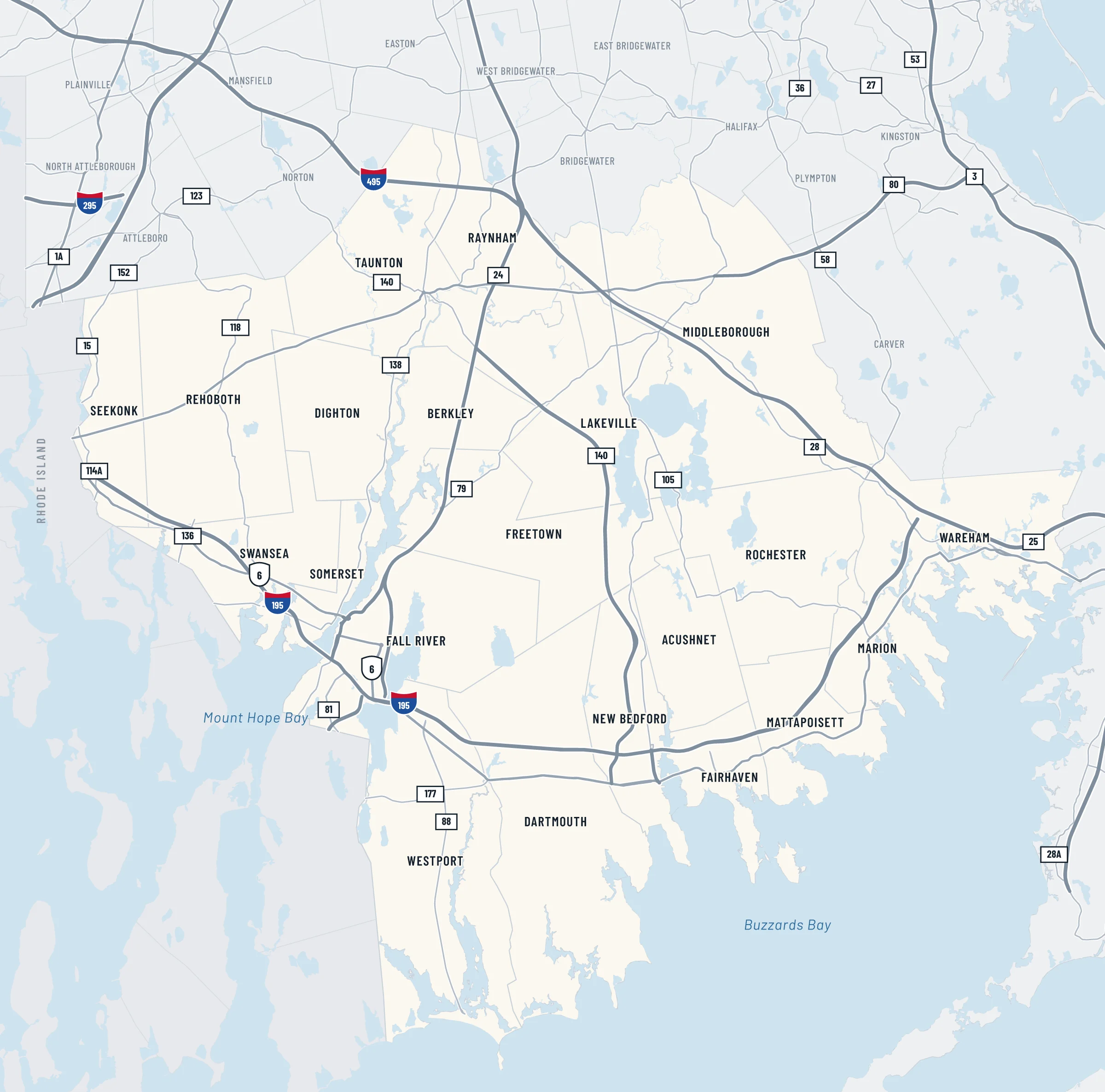
Each pin is a work zone, closure or detour from a Mass511 notice or a city or town notice. Tap a pin to read the notice.
Map key
- Road or ramp closed
- Lane closures
- Roadwork or utility work
- Posted detour
- Featured project
Each notice gets a pin. When a notice covers a stretch of road, that stretch is drawn as a highlighted line in the same color.
Every notice on our list
Featured project
Route 24 and Route 140 interchange, Taunton
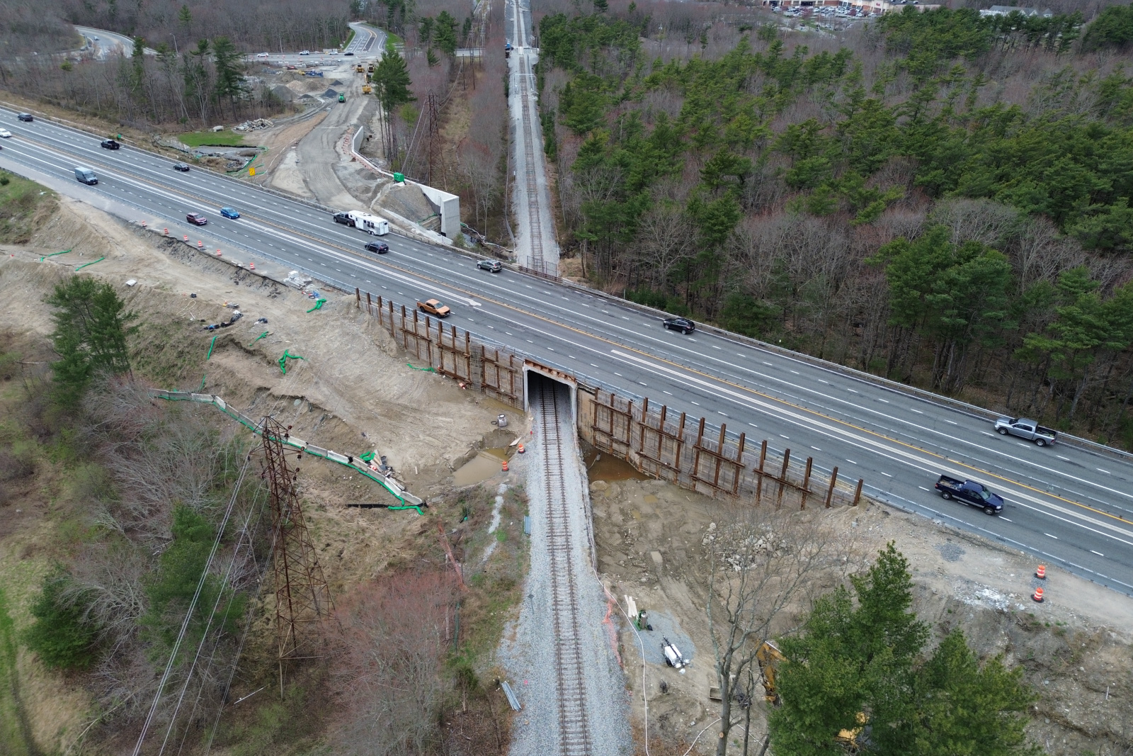
MassDOT is replacing the Route 24 bridge over Route 140, the two Route 24 bridges over the railroad and the Route 140 culvert over the Cotley River, and changing the ramps between the two highways (project 605888). Tap a ramp or bridge to read what MassDOT and the City of Taunton have posted about it, now and for the finished project.
MassDOT's project page lists the contract as 50% complete. Its latest status update is dated Oct. 28.
Tap or select a ramp or bridge on the drawing.
Closures listed at the interchange
The project from 2020 to its expected 2027 finish
Sources for this section
- MassDOT project page, Route 24 over Route 140 improvements, Taunton
- MassDOT Project Information, project 605888 (status as of Oct. 28, 2026)
- MassDOT bridge records T01045, T01046, T01047, T01054
- City of Taunton, Road Construction and Utility Work page
- City of Taunton news release, Feb. 1, 2025 (via Public Technologies)
- MassDOT Mass511 roadwork listings, Taunton
- MassDOT announcement of the board's contract approval, as published by WSAR
- MassDOT construction announcement, as published by Fall River Reporter, April 20, 2021
- MassDOT advisory, as published by WSAR (August 2021)
- Updated MassDOT advisory, as published by WSAR (December 2021)
- MassDOT release, as reported by WBSM, Aug. 19, 2022
- MassDOT announcement, as published by Fall River Reporter, Nov. 3, 2022
- MassDOT announcement, as published by Fall River Reporter, Aug. 17, 2025
- Engineering News-Record, Nov. 28, 2023
- Taunton Daily Gazette, as published by Construction Equipment Guide, June 5, 2024
How we built this
Every entry comes from an official notice. Most come from Mass511, MassDOT's traveler information site: each shows MassDOT's notice text word for word, as posted, with its Mass511 event number, and links go to the Mass511 home page, www.mass511.com. City and town entries come from notices on each community's own website, linked on each entry, and one Seekonk notice passes along a Rhode Island Department of Transportation closure of I-195 in East Providence. The Taunton interchange section draws on MassDOT's project page and its project and bridge records for project 605888, City of Taunton notices, MassDOT announcements as published by WSAR and the Fall River Reporter and as reported by WBSM, and reporting by Engineering News-Record and the Taunton Daily Gazette (as published by Construction Equipment Guide), each credited where it is used. MassDOT work on this page comes from Mass511; the Highway Division news page carries press releases, not district work zone advisories. South Coast 360 is not affiliated with MassDOT or Mass511.
Base map drawn in Adobe Illustrator by South Coast 360 from MassGIS (Bureau of Geographic Information), Commonwealth of Massachusetts EOTSS; MassDOT road inventory; U.S. Census Bureau TIGERweb water areas and Rhode Island town lines. Place search and the positions of some town notices: © OpenStreetMap contributors, available under the Open Database License.
The route checker keeps nothing you type. Town names are matched in your browser. Any other place goes to Nominatim, the OpenStreetMap place search, and to Komoot's Photon search if Nominatim does not find it, only when you press Check my route. Google Maps opens only if you choose one of its links.
These sources are not in our list yet, so check them directly. MassDOT's own notices for these places still appear here through Mass511.
- Town of Norton: town road notices not read yet; its Mass511 notices are in the list.
- Town of Easton: town road notices not read yet; its Mass511 notices are in the list.
For now we update the notices by hand. The top of the page and each entry show when we last read them.
If a notice here is wrong, out of date or missing, email news@southcoast360.com or use our contact page. Include the road, the town and a link to the official notice if there is one.